Northeast / Anaga
Anaga Cloud Forest
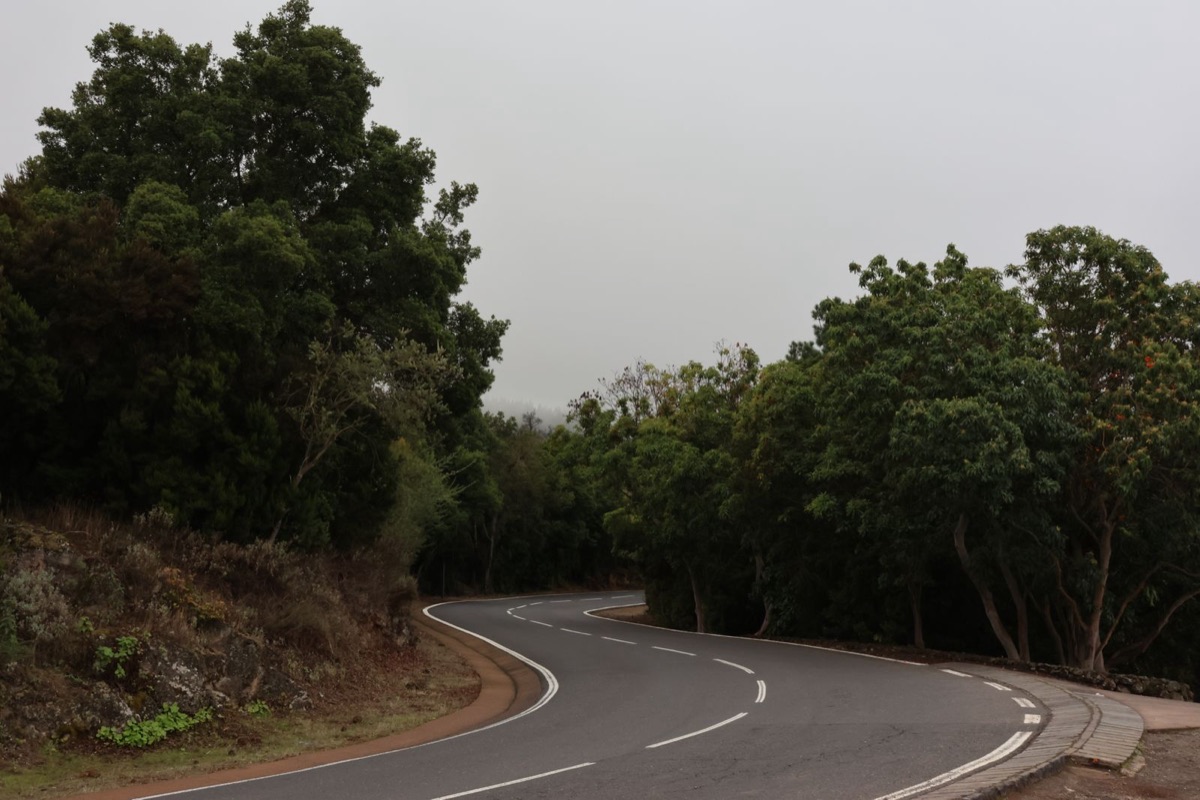
Cloud forest at dawn, sea cliffs at noon, bends all day.
The Anaga mountains are the other island: ancient, green, enchanted. You ride through laurel forest that has survived since the Ice Age, over a ridge in the fog, then drop down to the wild north coast, where the Atlantic hammers the black rock.
Mid-morning, before the trade wind pushes thick fog over the ridge. Skip it after rain: wet leaves and slick tarmac.
The ride on the map
Route in yellow, stops numbered. Drag the map to explore, tap a marker for details.
The line is for orientation, not turn-by-turn navigation. Ride by the signs and what you can see.
Along the way
Stops on this ride
- 1
Mirador Cruz del Carmen
ViewpointGateway to the forest. Visitor centre, café, and on a clear day a view all the way to La Laguna.
- 2
Lorbeerwald (Laurisilva)
CurvesA UNESCO relic forest from the Ice Age. You ride slowly here, for the wet and for the magic.
- 3
El Bailadero
PhotoA ridge point with a tunnel. South on the left, north on the right, often the weather divide between sun and fog.
- 4
Taganana
CultureA mountain village on a steep slope, dark stone, narrow lanes. Authentic and unvarnished.
- 5
Roque de las Bodegas
BreakA coastal pocket of fish restaurants. The best coffee and fresh fish right on the Atlantic.
- 6
Playa de Almáciga
ViewpointA wild black beach. Look only — the current is treacherous. But the roar is cinema.
Watch out here
- The laurel forest is often wet and the tarmac damp and greasy, with leaves in the bends. Easy on the brakes.
- The TF-12 over the ridge is endlessly tight and twisty, hard work for inexperienced hands. Plan in breaks.
- Fog can come in within minutes. Lights on, ease off the pace, keep your distance.
How the ride feels
From La Laguna into the mountains on the TF-12. After a few bends the city is gone and the forest swallows you. The laurisilva, the laurel forest, is damp, mossy, often wrapped in fog. The surface is narrow and can glisten with moisture; ride to your sight lines here, not the clock. The first stop at Mirador Cruz del Carmen earns its place: coffee, a view (if the cloud breaks) and the smell of wet wood.
On along the ridge. The TF-12 strings bend onto bend, many of them blind, with oncoming rental cars and service buses riding the centre line. Concentration. At the TF-134 junction the road drops steeply to Taganana, a mountain village clinging to the slope, its houses built of dark stone. From there to the coast: Roque de las Bodegas and Playa de Almáciga, where you get the catch of the day and a well-earned coffee.
Back up the same way or out to the Faro de Anaga on the TF-136. Temperature management matters here too: up in the fog it’s cool and clammy, down on the coast warmer and windier in an instant. A waterproof layer in your luggage is no bad idea. The forest does as it pleases.
Before you set off
The right bike for this ride
We don't rent bikes ourselves. We tell you what suits this road. Compare the categories and pick yours.
One bike for everything the island throws at you.
Tarmac, gravel, everything in between.
Reading to prep with
The island of eternal spring still has seasons — just its own kind. When it pays off most, and where you dodge the rain.
Speed limits, the alcohol limit, helmets, fines and how the Guardia Civil watches. Everything you need before the first kilometre.